
Goodyear Neighbor Record Sources
A block lookup works best when the source matches the question. The county map establishes which taxable parcels touch or face the starting parcel. Assessor cards then identify each recorded owner, situs address, owner mailing address, APN, and current deed reference. Goodyear's association layer answers a different question: which mapped association or civic alliance covers the parcel and which public contact fields are available.
Voter and permit material can add dated clues, but each has firm limits. A permit contact may be an owner, designer, contractor, or agent rather than an occupant. A voter file is obtained through a statutory request, not by reverse-searching the public self-service form. No source can list all people at every nearby address.
| Official source | Block-level evidence | Access route |
|---|---|---|
| Maricopa County Parcel Viewer | Parcel shapes, APNs, adjoining lots, subdivisions, and ZIP layer | Free map with click and pan |
| Maricopa County Assessor cards | Recorded owner, mailing and situs addresses, deed number, and legal facts | Free web search or county counter |
| Goodyear HOA layer | Parcel-specific association or alliance and public manager/contact fields | Free city address map and GIS layer |
| Maricopa voter file | Public registration fields at addresses after a lawful request and filter | Paid statutory file; protected records omitted |
| Goodyear Accela | Project, permit, parcel, address, and exposed contact information | Public search; account for submissions |
These records describe land, public filings, and civic administration. They do not turn owner names into a full roll of Goodyear neighbors.
Map Goodyear Neighbor Parcels
The Maricopa County Assessor Parcel Viewer supplies the core block method. It has no documented radius button, so the practical technique is to identify one parcel and walk outward. Map direction matters. Include parcels immediately north, south, east, and west, then those directly across the road. A shared edge or close point shows proximity, not a relationship between people.
- Open Search By, choose address, APN, or owner, and run the query. Select the Results tab and zoom to the returned point.
- Click the parcel beneath the point. Record its APN, situs line, subdivision, and map position before moving away.
- Pan and click each adjoining or facing polygon. Open the related assessor card for every APN instead of copying a name from the map alone.
- Compare owner mailing and situs fields. A match can support an owner-occupancy clue, but it does not prove the full household.
- Switch to Goodyear's association map for the community layer. Use the Goodyear street directory only when the task expands to the whole named road.
This flow preserves the evidence chain: address to parcel, parcel to APN, APN to assessor card, then parcel to association. It also makes errors easier to correct because each saved item has a distinct keeper.
See Goodyear Neighbor Parcels
The successful manifest capture shows the official Maricopa County Parcel Viewer used to move from one Goodyear address to nearby parcel polygons.
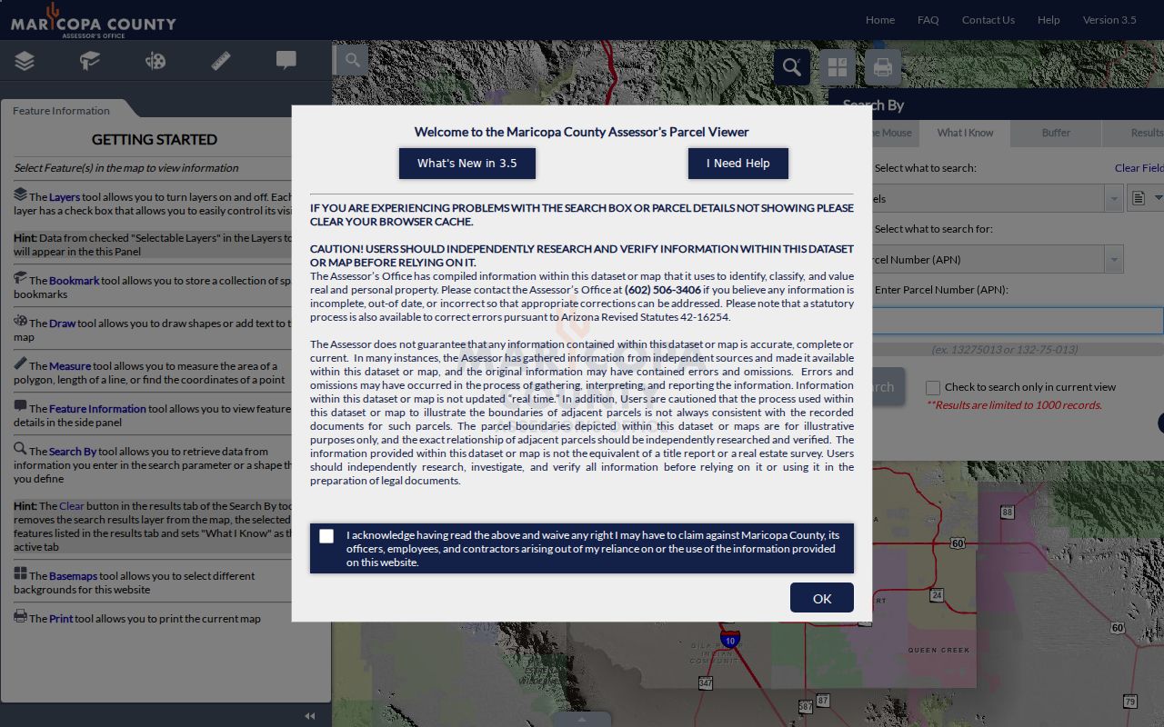
The viewer gives each selected lot an APN bridge to the assessor record. Boundaries and adjoining lots are the useful output; a map pin by itself is weak evidence.
Read parcel terms with care. A parcel is a mapped tax unit. The situs address is its physical taxable address, while the mailing address is where the owner receives county notices. A plat is the recorded map that lays out lots, blocks, roads, and easements. Marketing names such as Palm Valley, Canyon Trails, Estrella Mountain Ranch, or PebbleCreek may be helpful search terms, but recorded subdivision and MCR numbers are the stronger land keys.
If the map or web card fails, ask the Assessor counter for parcel help. A deed or plat image then comes from the Recorder search, phone, or downtown counter, not from the city association map.
Note: A parcel owner can be a trust, company, estate, or absent owner, and the tax roll does not name every occupant.
Find Goodyear Neighbor Associations
The city's Neighborhood Services address map is the local community layer. An address can return an association name and property-manager contact. The underlying public HOA GIS layer can include association, contact name, company, company address, phone, email, number of homes, and a privacy flag. The polygons are tied to recorded plats, making the tool more precise than a general neighborhood brochure.
The live inventory includes Abel Ranch, Aldea, CantaMia, Canyon Trails phases, Centerra, Citrus Park, Cottonflower, Estrella Mountain Ranch, Palm Valley phases, PebbleCreek, Rio Paseo, Sedella, Wildflower Ranch, and many more. Goodyear also maps the Historic Goodyear Neighborhood Alliance and North Subdivisions Neighborhood Alliance as non-HOA civic groups. The city output is a route to a public association contact, never a private member roster.
Goodyear Neighborhood Services
Address-to-association map and neighborhood support. Jeremy Dyck, 623-882-7803.
Historic Goodyear Alliance
Non-HOA neighborhood alliance shown in the city layer. Use the city contact route for current details.
North Subdivisions Alliance
Non-HOA civic alliance mapped by Goodyear. Confirm the parcel and current contact through Neighborhood Services.
Compare Goodyear Neighbor Boundaries
A postal code, city limit, parcel, association, service area, school district, and legislative district can cover different shapes. Goodyear's large municipal area includes a historic core, fast-growing northern developments, and master-planned communities far to the south. One broad neighborhood name can also span several recorded plats. The exact layer and date should accompany any saved result.
A practical three-map test keeps the meanings apart. First, USPS standardizes the delivery address. Second, the county Parcel Viewer identifies the taxable parcel and nearby lots. Third, the city association layer identifies a mapped HOA or non-HOA alliance. Postal, land, and community outputs can all be correct even when their boundaries do not match.
- APN
- The assessor's parcel number, commonly written as book-map-parcel with an optional split letter.
- Legal subdivision
- The recorded plat name and lot or block used to identify land, which can differ from a sales or neighborhood label.
- Association polygon
- The mapped area administered by an association according to the city layer, not a list of private members.
- ZIP layer
- A postal geography used to route mail, not proof of municipal jurisdiction or household identity.
Read Goodyear Neighbor Permits
Goodyear's Accela portal adds project history to a block. Its public search accepts a record number, date range, record type, address parts, parcel number, and, when exposed, first name, last name, or organization. The city says the portal can show project information and status, while an account is needed to submit a new project or manage an owned application.
The successful manifest image links to the Goodyear Accela search used for address-keyed permit and project research.
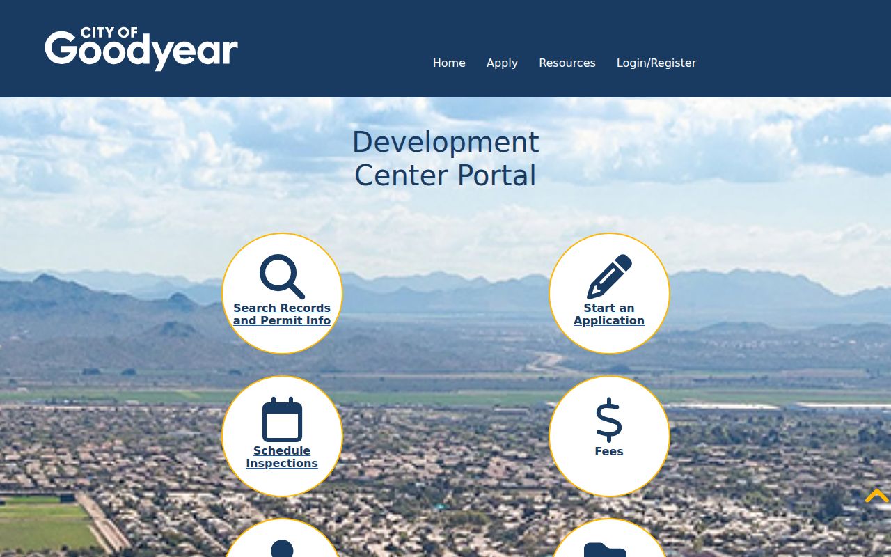
The search can date work proposed or approved on nearby parcels. It cannot prove that the applicant lived at the site. Contacts may be owners, contractors, architects, or agents. When no online hit appears, retry with the APN or project number. Early planning records can predate the familiar street address because Goodyear assigns subdivision addresses after final-plat recordation and suite addresses during building review.
For older files, contact the Development Services counter at Civic Square or call 623-932-3004. A narrow city public-record request is the fallback when the public portal lacks the needed record.
Goodyear Neighbor Voter Limits
The public Arizona Voter Information Portal checks one registrant's own information. It requires identity inputs and does not work as a reverse block directory. A street or district file comes from the Maricopa County Recorder request process under A.R.S. § 16-168. The requester selects the bounded district and status categories, pays the statutory file fee, then receives secure electronic delivery.
A delivered file may contain name, registration date, addresses, party, phone, registration status, and participation history within the published layout. Each field must retain its label. Party is an affiliation, and history says only that an election was voted. Neither reveals ballot choices. Inactive status does not prove a move, and registration date may reflect an update rather than the first day someone lived in Goodyear.
Protected voters are absent under A.R.S. § 16-153. The Arizona Address Confidentiality Program also supplies a substitute address and mail forwarding to qualified participants. A missing result can reflect lawful protection, so it must never be treated as an invitation to reconstruct the address elsewhere.
Note: The Recorder self-service portal cannot enumerate Goodyear neighbors by street, block, or ZIP.
Compare Goodyear Neighbor Tools
Official records and commercial compilations serve different roles. Government sources identify the office, field labels, record date, and correction path. A commercial neighbor tool can merge public and private feeds, retain stale addresses or relatives, and hide important source dates. It may be a lead, but it is not the custodian of a deed, parcel card, permit, or voter file.
| Choice | Best evidence | Main limit |
|---|---|---|
| Official county or city record | Dated parcel, deed, plat, permit, or requested file with a known keeper | Each roll answers only its assigned public function |
| Association contact layer | Mapped community and public manager or alliance contact | Not a member or household directory |
| Commercial compilation category | Possible lead from merged data | May be stale, costly, or unclear about source and date |
Use the official record when a fact matters. Correct an assessor issue with the Assessor, a city project issue with Development Services, and a voter record with the Recorder.
Meet Goodyear Neighbors Lawfully
Public community contacts are a better route for ordinary civic connection than compiling private names. Neighborhood Services can identify the mapped association or alliance. The Georgia T. Lord Library and Friends of the Goodyear Branch Library offer public programs and membership meetings, while local historical groups connect people through shared West Valley history. A chamber or business directory can identify a public business contact, not people in a household.
Private association directories remain private even when Goodyear maps the association boundary. Ask the group for its own public contact process. Do not copy, publish, or infer a roster. The same restraint applies to congregations, school groups, and block-watch programs. A public meeting notice may show a contact for the event, but it does not open the group's private list.
Goodyear's growth makes dates important. New plats and association phases appear as development advances. Save the parcel, map layer, and access date rather than assuming today's label applied to an older record.
Protect Goodyear Neighbor Privacy
The tax roll normally omits renters and other household members. DMV addresses are restricted, city utility and delivery data are not a public neighbor roster, and protected voter locations stay shielded. Even a matching owner mailing and situs address is only an occupancy clue. It does not name spouses, relatives, guests, or other residents.
Lawful use. Goodyear block records support civic curiosity, reconnecting, and personal safety. Never use them to watch, threaten, harass, or harm a person.
Arizona stalking law, A.R.S. § 13-2923, and harassment law, A.R.S. § 13-2921, can apply when public information is used in a course of conduct that causes fear or serious alarm. Public access is not consent to repeated contact. If a record is missing because of protection or redaction, accept the limit.
The sound block record ends with a modest claim: a dated official source identifies a parcel owner, public project, registration field, or association contact. It does not establish every person who lives nearby. That distinction keeps a Goodyear neighbors search useful and fair.